As reported by Surfer, Starky, who co-founded the bodysurfing crew Yucca Fins, said, "I've watched the sand disappear over the last 20 years surfing at Wedge." This summer he is not the only one saying it. Up and down the last few hundred yards of Balboa Peninsula, longtime regulars are describing conditions at the Wedge that none of them recall seeing before.
If you live near the tip of the peninsula, you already know the Wedge as the spot where the jetty throws the surf back on itself and turns an ordinary south swell into something that draws spectators to the sand just to watch. What you may not know yet is what a summer of repeated big-swell events has pulled out from under it, or why the obvious fix, moving sand from one side of the jetty to the other, is not something the city can simply order up.
What's Actually Showing Through the Sand
The beach at the Wedge has been stripped down far enough this summer to expose material that has not seen daylight since the jetty went in during the 1930s and 40s. Newport Beach Lifeguard Battalion Chief Adam Yacenda described it directly to a reporter from The Inertia: "There are PVC pipes, wires and a railway tie underneath the water and occasionally some metal." Photographer Brent Weldon, who has documented the spot for years, has called it the worst he has seen, with fresh sections of pipe and wire turning up after nearly every swell.
City crews have already blocked off the affected stretch with caution tape while officials figure out next steps. What used to be a sandy runout at the base of the jetty now exposes enough of the rock structure that some locals have started calling it the Wedge Reef, a name that doubles as a warning. Rocks that break loose from the jetty can scatter through the impact zone, and surfers have already been hurt this season on debris that used to sit safely buried.
Why This Spot Takes the Hit Hardest
Every beach on this stretch of coast loses and regains sand with the seasons, but the Wedge has never worked like the rest of Balboa Peninsula. The wave itself exists because the Newport Harbor jetty reflects incoming south swell back into oncoming sets, and that same jetty geometry is what has been sitting mostly hidden until this year. Underneath all of it runs the Newport Submarine Canyon, a deep offshore trench that channels open-ocean swell energy straight at the beach with almost none of the natural buffering that softens wave impact elsewhere on the coast.
That combination is why a run of unusually strong swells, three separate hurricane-driven events by one local's count, has hit this particular quarter mile of sand harder than the beaches on either side of it. It also explains why the city's blackball rule, which bans boards at the Wedge from 10 a.m. to 5 p.m. between May 1 and October 31 so bodysurfers can have the wave to themselves, still has two months left to run this year even as the sand underneath that rule keeps changing shape.
Why the City Can't Just Truck In a Fix
Councilman Erik Weigand, who also sits on the Orange County Water District and has spent years on sand replenishment issues, put the mechanical problem in blunt terms to KTLA: "It's weird seeing equipment and rock and debris from the 1930s and 40s when The Wedge was built." His frustration is not with the absence of sand. There is sand sitting on the harbor side of the same jetty right now. The problem is that moving it from the harbor side to the ocean side requires permitting from the U.S. Army Corps of Engineers, and city officials have pointed to potential sources as far away as Anaheim and the Prado Dam, with real questions about what it would cost to truck that material to the beach.
Council members have said another formal study is needed before any sand moves, which means residents should expect the process to run into the fall and possibly beyond before dirt actually shifts. None of this is unique to bureaucratic slowness for its own sake. It reflects how narrowly the Army Corps' authority is carved up along this coastline, where sand on one side of a federal jetty and sand fifty yards away on the other side can sit under entirely different rules.
The Harbor Has Plenty of Sand. It's Still Not the Wedge's Sand.
The timing makes the standoff harder to shrug off. The Newport Harbor Dredging Project, a partnership between the city and the Army Corps that officials have called the harbor's final major dredge, is expected to wrap up this fall after work that began with a Marina Park kickoff in November. Sediment control upstream has cut down the flow of material into the Lower Bay enough that only small maintenance dredging should be needed after this cycle finishes. In other words, a significant volume of harbor sand has been actively moving this year, just not toward the ocean side of the jetty where the Wedge needs it.
That is a different program from the older Surfside-Sunset Beach-Newport Beach Shore Protection Project, the periodic federal replenishment effort that historically fed sand south by natural tidal drift on a five-to-seven year cycle before funding lapsed and was eventually restored. That project's most recent cycle deposited sand near Surfside and Sunset Beach and let currents carry it toward Huntington, Bolsa Chica, and a specific stretch of West Newport between 52nd and 36th streets. It was never designed to reach the Wedge, which sits at the harbor mouth working under completely different wave mechanics. Two federally involved sand programs have touched this coastline in the same year, and neither one, by design or by permit, has put sand where the Wedge actually needs it.
What to Watch For This Fall
Weigand has pointed out one wrinkle that could work in the Wedge's favor without anyone spending a dollar. West swells, which tend to arrive later in the year and are considered more reliable during an El Niño pattern than rainfall itself, can push sand down from the north and offer some natural replenishment even before any city project gets approved. Nobody is counting on it, but it is the one variable outside the permitting process that could change the picture before winter.
For now, expect the caution tape to stay up at the base of the jetty, expect the blackball rule to hold through October 31, and expect a City Council study before anything resembling a fix. If you walk the boardwalk down to the tip of the peninsula this fall, look for where the sand has thinned enough to show the old rock line, and give the exposed section a wider berth than you would have last year. The wave is the same wave. What is underneath it is not staying buried the way it used to.
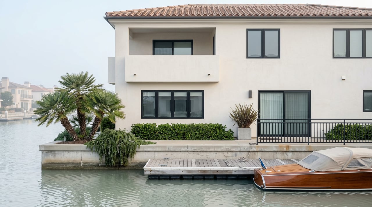
If you are watching Balboa Peninsula for reasons that go beyond the surf report, from a bayfront dock's exposure to swell patterns to how a property's proximity to the jetty factors into long-term planning, that is the kind of neighborhood-specific detail High | Corkett tracks closely. Work With Us — Start a Confidential Consultation.
This article is general information, not legal, tax or financial advice. Consult a qualified professional about your situation.